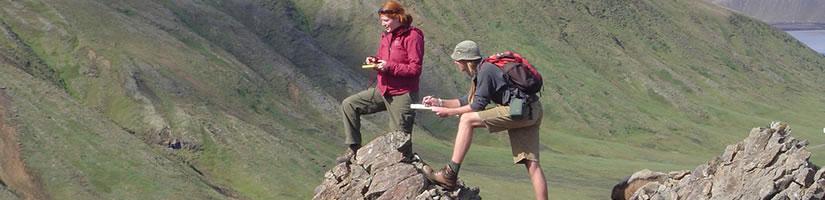
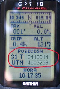
First, when we get to the outcrops of the route it is necessary to locate them very carefully in a topographic map drawn to a big scale (1/10 000 or 1/25 000.) If we have a GPS we will have to write down the place coordinates in UTM coordinate system preferably.
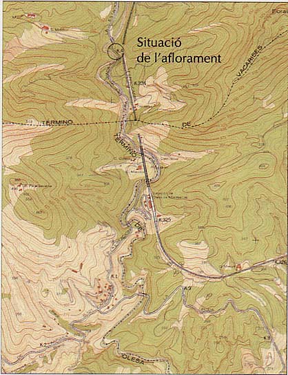
Below it is given a brief description of the outcrop’s close environment, both its origin (natural or artificial) and its morphologic situation in the surrounding landscape, that is the position related to high places, sunken areas, scarped or cuesta reliefs, etc.